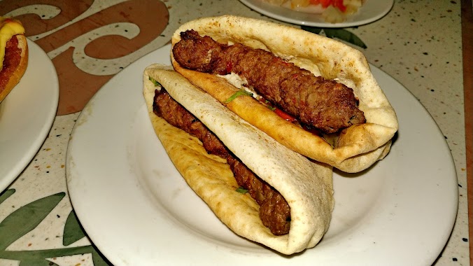
Restaurant nearby كبابجي عطيه
Coronavirus disease (COVID-19) Situation
confirmed cases
516023
deaths
24613
Egypt
Restaurant nearby كبابجي عطيه
كبابجي عطيه
Suez Egypten
contacts phone
:
+20
Latitude:
29.9367482
, Longitude:
32.5645619
read more
nearest Restaurant
173 m
مطعم روان - فول و فلافل
Suez
Restaurant
read more
2.641 km
مطاعم دلع كرشك
كورنيش السويس الجديد
Restaurant
read more
2.646 km
Mr Waffle & Ms Crepe
Restaurant
read more
2.658 km
chef sarhan
Restaurant
read more
2.661 km
مطعم الشيف سرحان
Restaurant
read more
2.68 km
Gambarina Hego
Restaurant
read more
2.686 km
Halhool fish corner
Restaurant
read more
2.738 km
Toscanin Resturant
Restaurant
read more
2.742 km
CareerBuilder pizza restaurant and crepe meals and sandwiches
كورنيش الجديد, بسور الاستاد, Suez
Restaurant
read more
2.883 km
Smokin' Burger
Unnamed road, Suez
Restaurant
read more
2.962 km
Sea Side
Suez
Restaurant
read more
2.967 km
Whale Moclat Marine
شارع استاد الجامعه, Al Kornish Sq., الجديد, Suez Canal Bridge
Restaurant
read more
3.018 km
Farfasha Restaurant
Suez
Restaurant
read more
3.085 km
Cooker`s fast food
Suez
Restaurant
read more
3.147 km
Mohra
كورنيش السويس الجديد, Suez
Restaurant
read more
3.164 km
الحاتى
Restaurant
read more
3.165 km
أسماك عروس البحر
Suez
Restaurant
read more
3.183 km
كافية سويس اسكوير
كورنيش السويس الجديد, Suez
Restaurant
read more
3.201 km
Spectra Restaurant & Cafe
السويس, Suez, شارع صلاح نسيم, Suez
Restaurant
read more
3.202 km
Spectra
Suez
Restaurant
read more
3.275 km
Fares Seafood & Grill
Suez
Restaurant
read more
3.292 km
مطعم فارس للمأكولات البحرية
Suez - Ain El Sokhna Road, Suez
Restaurant
read more
3.309 km
Cafe Suez Square
كورنيش السويس الجديد, Suez
Restaurant
read more
3.461 km
اسماك السويس
Suez
Restaurant
read more
3.595 km
كريب اند بيتزا
3شارع الصفا الملاحه
Restaurant
read more
📑
all categories
Accounting
Administrative area level 1
Administrative area level 2
Airport
Amusement park
Aquarium
Art gallery
Atm
Bakery
Bank
Bar
Beauty salon
Bicycle store
Book store
Bowling alley
Bus station
Cafe
Campground
Car dealer
Car rental
Car repair
Car wash
Casino
Cemetery
Church
City hall
Clothing store
Colloquial area
Convenience store
Courthouse
Dentist
Department store
Doctor
Electrician
Electronics store
Embassy
Finance
Fire station
Florist
Food
Funeral home
Furniture store
Gas station
General contractor
Grocery or supermarket
Gym
Hair care
Hardware store
Health
Home goods store
Hospital
Insurance agency
Jewelry store
Laundry
Lawyer
Library
Light rail station
Liquor store
Local government office
Locality
Locksmith
Lodging
Meal delivery
Meal takeaway
Mosque
Movie rental
Movie theater
Moving company
Museum
Natural feature
Neighborhood
Night club
Painter
Park
Parking
Pet store
Pharmacy
Physiotherapist
Place of worship
Plumber
Point of interest
Police
Political
Post office
Premise
Real estate agency
Restaurant
Roofing contractor
Route
Rv park, camping
School
Shoe store
Shopping mall
Spa
Stadium
Storage
Store
Subway station
Supermarket
Synagogue
Taxi stand
Train station
Transit station
Travel agency
University
Veterinary care
Zoo
administrative area level 3
sublocality level 1
↑